ACEC01 (Rcs)
A B Tech
All 4 results
Sort by
It is a project work for civil engeenering students for diploma final year students
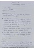
Remote sensing is a powerful and versatile technology used to gather information about the Earth's surface and its environment without direct physical contact.

-
Photogrametry
- Class notes • 16 pages • 2023
-
- $7.99
- + learn more
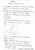
Photogrammetry is a versatile and precise technique for obtaining detailed measurements and three-dimensional information about objects, terrain, and structures using photographs or imagery. It involves the process of capturing, analyzing, and interpreting photographs to derive accurate spatial data

-
Basic Surveying
- Class notes • 17 pages • 2023
-
- $8.29
- + learn more
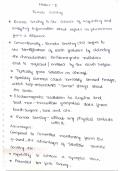
Surveying is a multidisciplinary practice that encompasses the art and science of measuring and mapping the Earth's surface and its features. It is a fundamental aspect of various fields, including civil engineering, construction, land management, urban planning, and environmental monitoring. The primary objective of surveying is to gather precise data about the shape, size, and location of physical objects and terrain on the Earth's surface.

How much did you already spend on Stuvia? Imagine there are plenty more of you out there paying for study notes, but this time YOU are the seller. Ka-ching! Discover all about earning on Stuvia


